|
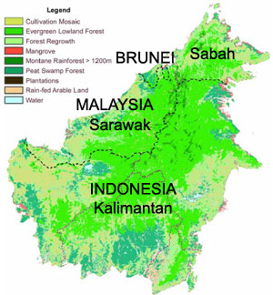
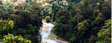
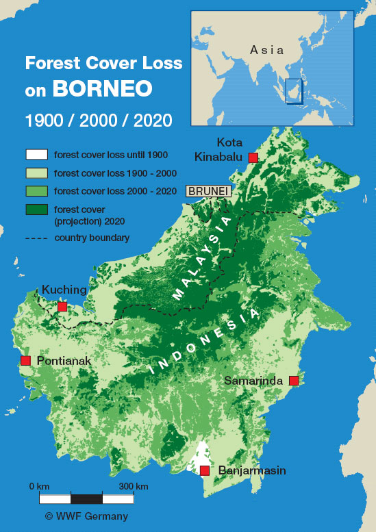
Major vegetation types of Borneo. Map modified from WWF's "Borneo: Treasure Island at Risk" report. The map is based on Langner A. and Siegert F.: Assessment of Rainforest Ecosystems in Borneo using MODIS satellite imagery. Remote Sensing Solutions GmbH & GeoBio Center of Ludwig-Maximilians-University Munich, in preparation, June 2005. Based on 57 single MODIS images dating from 11.2001 to 10.2002 with a spatial resolution of 250 m
|